
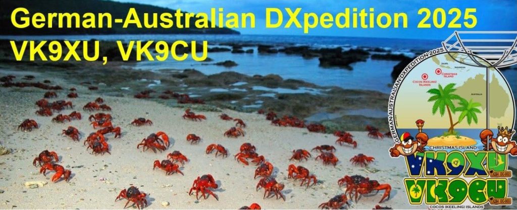
It was Christmas in February and March for the six-operator VK9XU team as they activated Christmas Island (IOTA OC-002), an Australian territory in the Indian Ocean and the 67th Most Wanted DXCC Entity per Clublog (as of February 2025).
Due to some late-arriving luggage containing most of the rods for VK9XU’s antenna masts, the team’s planned temporary antenna farm, particularly on the low bands, wasn’t realized at the start of the activation. Fortunately, the missing bag arrived on February 25 and low-band operation soon followed.
The DX Engineering-sponsored German/Australian Christmas Island DXpedition is scheduled to wrap up March 4 and transition to the VK9CU Cocos Keeling (IOTA OC-003) HF operation, which is set to run until March 11, 2025 on CW, SSB, FT8, and RTTY. The Cocos Keeling Islands lie 609 miles to the west of Christmas Island.
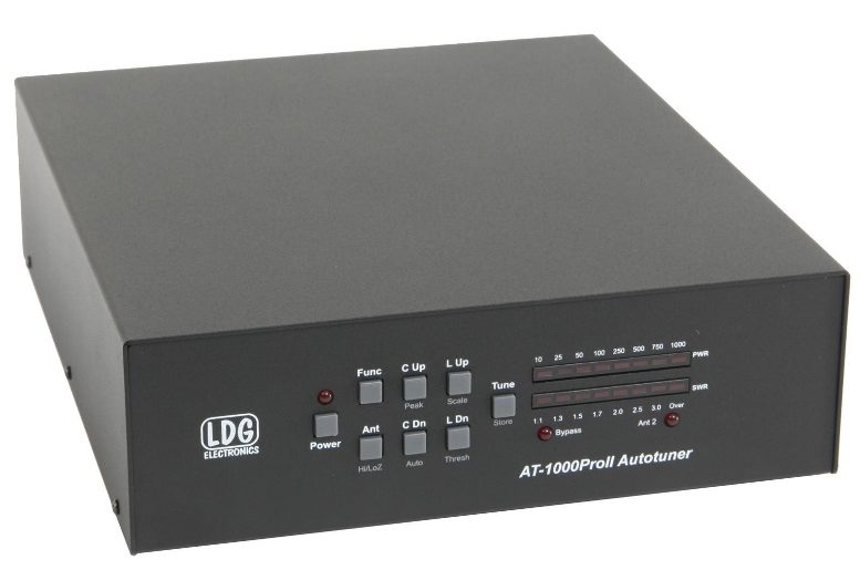
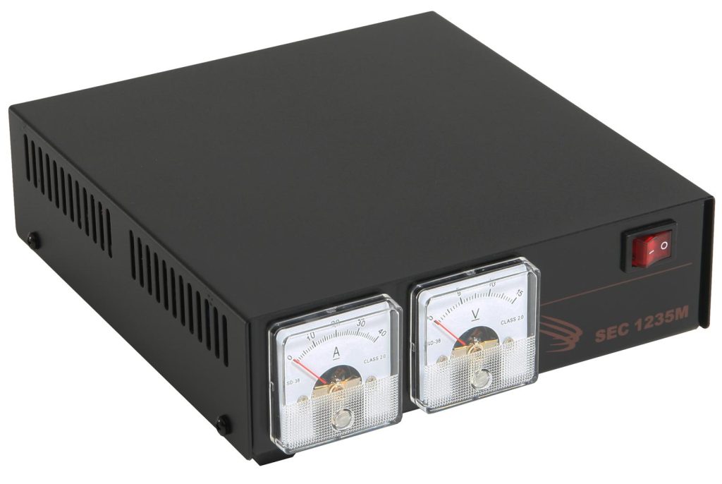
As an equipment sponsor of VK9XU/VK9CU, DX Engineering contributed the following:
Among other equipment, the team also employed a DX Commander 40-10M vertical antenna, and Icom IC-7300 and Yaesu FTDX-10 transceivers.
About Cocos Keeling Islands
The external Australian territory of the Cocos Keeling Islands (88th Most Wanted DXCC Entity) consists of two atolls, North Keeling Island and South Keeling Islands—the only atolls in the eastern Indian Ocean. The archipelago is made up of 27 corral islands comprising 5.5 square miles.
In 1827, Scottish trader Captain John Clunies Ross established a settlement on the islands. The Clunies Ross family, who became known as “The Kings of Cocos,” owned and occupied the islands for more than 150 years, according to the Australian Government website. The islands became a territory of Australia in 1955. In 1978, Australia purchased all of the lands from the Clunies Ross family, except for the family home.
The islands are named for British sea captain William Keeling, who became the first European to sight the islands in 1609. The word “Cocos” was added later as a nod to the locale’s abundant coconut trees, which flourished on the islands even before the planting of the southern atoll by the Clunies Ross family. Also of note, Charles Darwin visited the southern atoll in 1836 and conducted a 10-day botanical study, collecting 21 species during his time on the islands.
QSL Cards
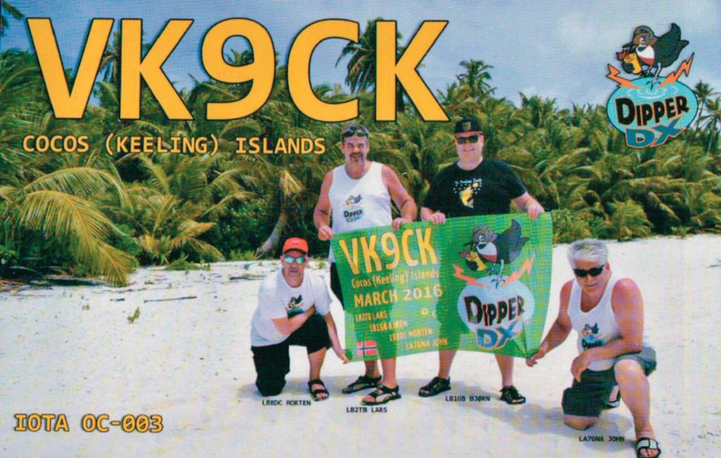
Back in 2016, Tom, KB8UUZ, DX Engineering technical writer, received the following QSL card from the VK9CK Cocos Keeling Islands DXpedition for contacting them on 20M SSB and 17M CW. The VK9CK team operated from West Island (population of about 120). West Island and Home Island (population of around 470) are the only two permanently inhabited islands in the archipelago.
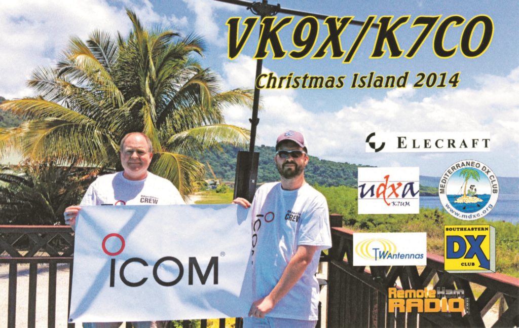
Mark, W8BBQ, DX Engineering customer/technical support specialist, worked the VK9X/K7CO Christmas Island DXpedition on 10/15M SSB. The QSL card features a DX Engineering TransWorld Antenna.
Look for a wrap-up report on VK9XU/VK9CU at OnAllBands in the weeks ahead.
***
Editor’s Note: Every month, DX Engineering features QSL cards from our team members’ personal collections. To highlight upcoming DXpeditions, we’ll be displaying a few of our favorite cards along with details about what it took to make these contacts. We’re excited to share some of the special cards pulled from the thousands we’ve received over the years. We look forward to seeing your cards as well!