Marshall Islands QRV in December, 2024
The V73WE DXpedition by SP9FIH from the Republic of the Marshall Islands is scheduled to be on the air until Dec. 13. Operations on 40-10M in SSB, CW, and FT8 will take place in the Ratak chain (IOTA OC-029), the eastern half of the islands. Ratak is Marshallese for “sunrise,” while Ralik, meaning “sunset,” is the name of the islands’ western side.
The Marshall Islands, a series of 29 coral atolls, five main islands, and more than 1,200 smaller islands in the Micronesia region of the northwestern Pacific Ocean, ranked as the 97th Most Wanted DXCC Entity (per Clublog as of November 2024). It shares maritime boundaries with Wake Island to the north, Kiribati to the southeast, Nauru to the south, and the Federated States of Micronesia to the west.
Only 24 of the Marshall Islands are inhabited. Most of the nation’s population of around 42,000 reside on two atolls: Majuro (population 30,000), which consists of more than 60 islands and the capital city of Majuro, and Kwajalein (population 10,000), which surrounds Kwajalein Lagoon—one of the world’s largest lagoons at 839 square miles. Notably, Kwajalein was used as a base for orbital rocket launches with the Pegasus-XL and served as a base for SpaceX’s Falcon 1 rocket.
The Marshall Islands has a total land area of 70 square miles and is one of only four atoll-based nations in the world. More than 97.8% of its territory is water, making it the sovereign state with the largest ratio of water to land. NationalGeographic.org defines an atoll as a ring-shaped coral reef, island, or series of islets. Encyclopedia Britannica notes that “most of the Marshall Islands are true atolls, consisting of an irregular-shaped coral reef surrounding a lagoon.”
This leads us to our OnAllBands Geography Question of the Day. Can you name the three other nations that are made up of atolls? Answer below.
Quick Facts About the Marshall Islands
- The Marshall Islands are located halfway between Hawaii and Australia.
- The islands are named after British naval captain John William Marshall, who explored there in the late 1700s.
- The U.S. occupied the islands during World War II and administered them as part of the Trust Territory of the Pacific Islands after the war.
- Between 1946 and 1958, the U.S. conducted 67 nuclear tests at Bikini Atoll and Enewetak Atoll. The first hydrogen bomb, codenamed “Mike,” was tested at the Enewetak Atoll in November 1952. Read about the serious lasting effects of these tests in this 2023 article in the Guardian by Lucy Sherriff.
- The U.S. gave the islands independence in May 1979. They have been a United Nations member state since 1991.
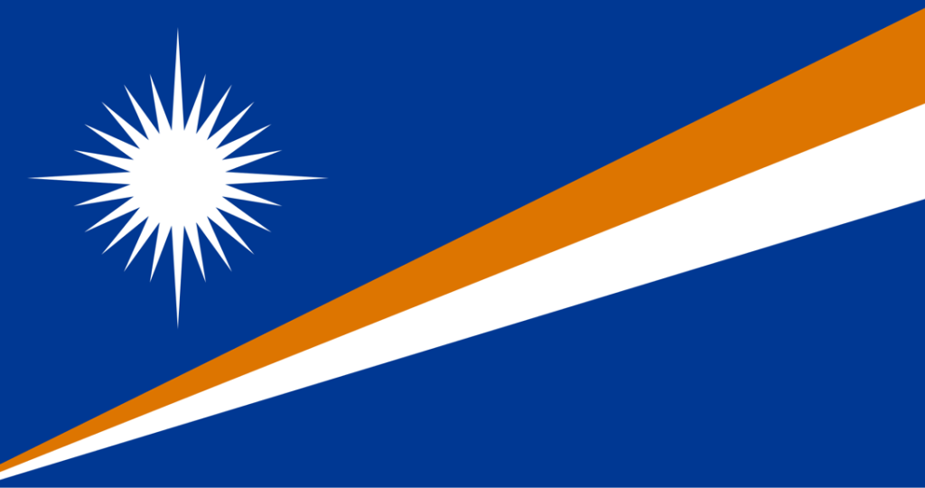
- The Marshall Islands flag, designed by Emlain Kabua, who served as the First Lady of the republic, was adopted in May 1979. According to Wikipedia, in a North American Vexillological Association poll in 2001, the flag placed ninth out of 72 contenders for best flag of an independent nation that isn’t the U.S. or Canada, but is in free association with the U.S. Vexillology, as you might have learned from watching The Big Bang Theory, is the study of flags.
QSL Cards
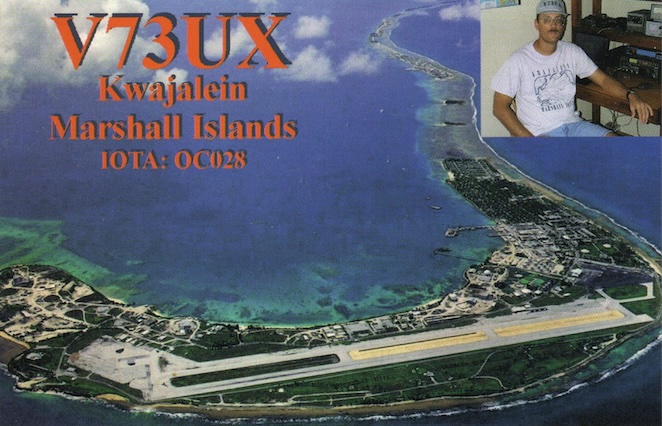
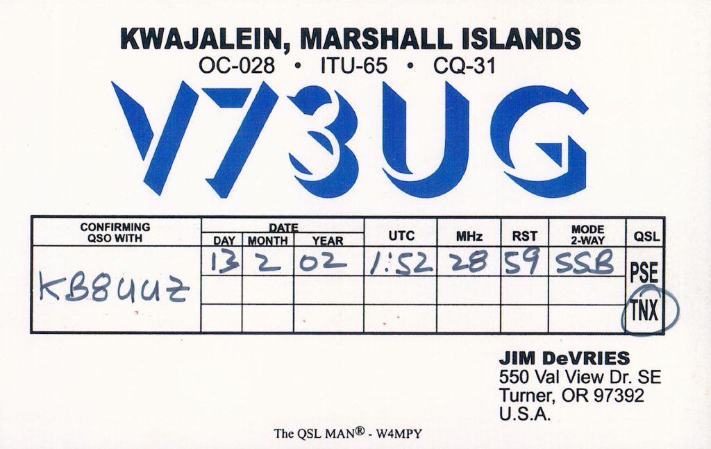
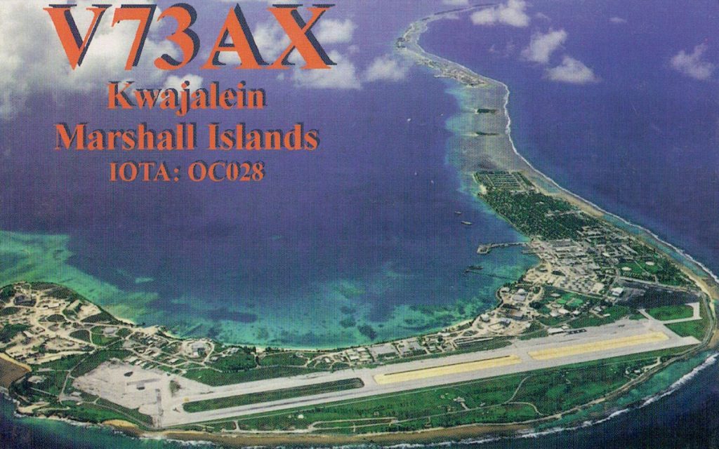
The active hams at DX Engineering have had great success contacting the Marshall Islands over the years (a good reason to contact them for help with your gear if you’d like to do the same). Here are a few of the QSL cards from their collections.
K3GP, DX Engineering customer/technical support specialist, made a 15M RTTY contact with V73UX from the Kwajalein Atoll in February 2000.

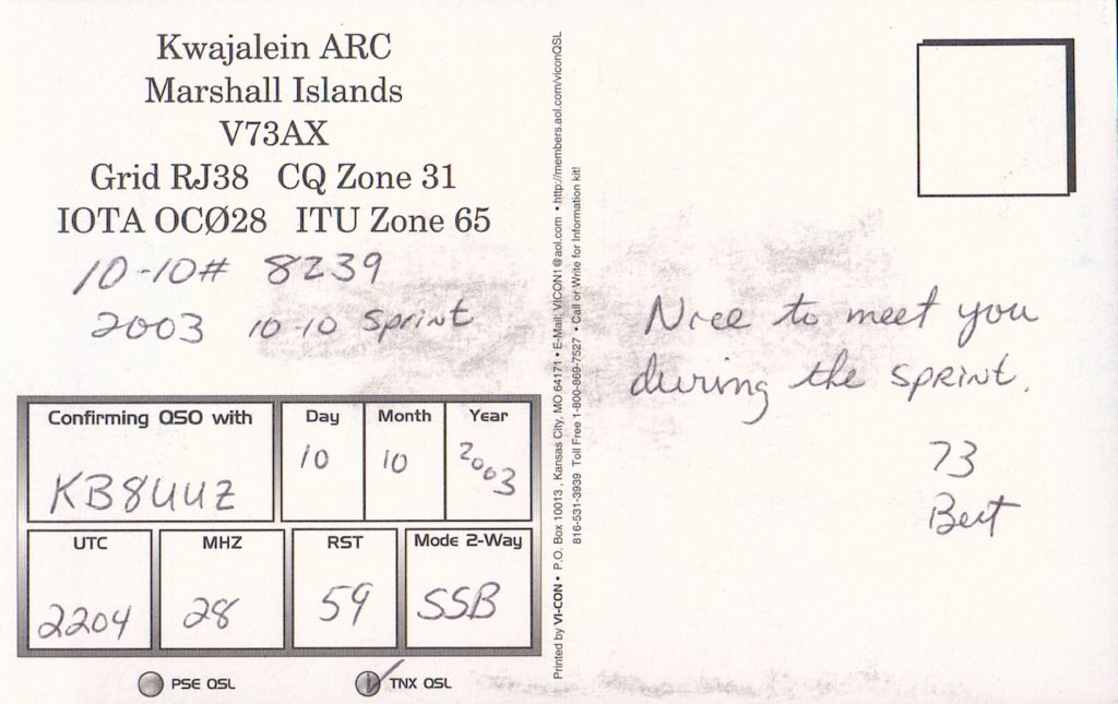
Tom, KB8UUZ, DX Engineering technical writer, reached V73UG in February 2002 and V73AX in October 2003.
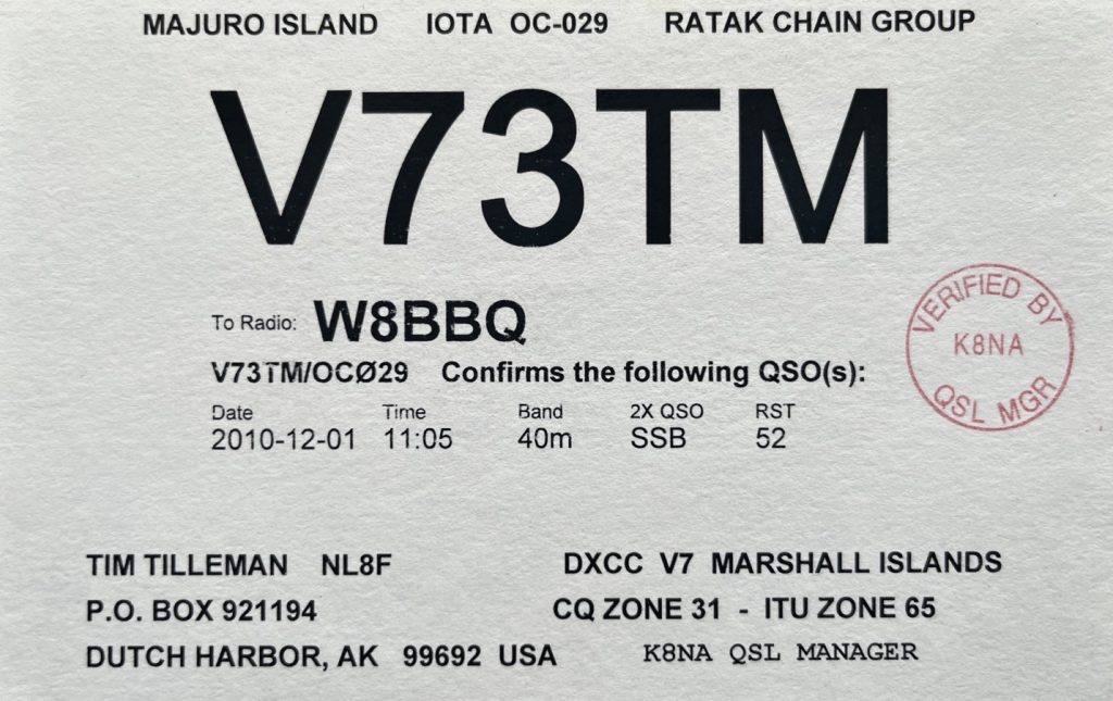
Mark, W8BBQ, DX Engineering customer/technical support specialist, received this QSL card for his contact with V73TM from Majuro Island.
Scotty, DX Engineering customer/technical support specialist, received this QSL card from KX60R back in October 1981.

I’ll take “Atolls” for $1,000, Ken.
We’ll admit that today’s geography question was one of our hardest. Let’s see if you were up to the challenge. There are four atoll-based nations in the world. The Marshall Islands is one of them. Can you name the other three? If you said the Republic of Maldives in the Indian Ocean, and the Pacific Ocean nations of Tuvalu and Kiribati, give yourself a gold star. There are other island nations that include atolls, but only these four are predominantly atoll-based.
Whether contacting atolls, islands, landlocked countries, or your buddy living on the opposite coast, you’ll find everything you need to expand your DXing horizons at DXEngineering.com, including transceivers, amplifiers, CW paddles and keys, antennas, headsets, coaxial cables, and more.
***
Editor’s Note: Every month, DX Engineering features QSL cards from our team members’ personal collections. To highlight upcoming DXpeditions, we’ll be displaying a few of our favorite cards along with details about what it took to make these contacts. We’re excited to share some of the special cards pulled from the thousands we’ve received over the years. We look forward to seeing your cards as well!

